This bundle consists of:

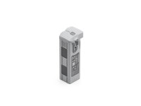
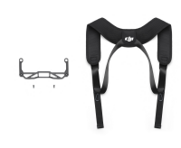

- Available immediately
-
Delivery time: 2 - 3 Workdays (DE - int. shipments may differ)

- Available immediately
-
Delivery time: 2 - 3 Workdays (DE - int. shipments may differ)

- Available immediately
-
Delivery time: 2 - 3 Workdays (DE - int. shipments may differ)
Description
Construction documentation with drones
Easily create aerial images and location images accurate to within 2 cm with the Construction Surveying 50 ha package. Mark the area on the remote control, specify the safe flight altitude, and the drone will do the rest. This feature is ideal for contractors and construction managers who need precise construction documentation.
Measurements with RTK drone
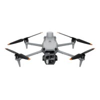
The set contains everything you need to take measurements with a drone. With the high-precision RTK drone and reliable software, you can measure distances, areas, and volumes directly on your computer. The training courses enable a quick start, ideal for architects and civil engineers.
Building Information Modeling (BIM)
Create point clouds of construction sites with 2 cm accuracy and import the data seamlessly into Civil 3D, Revit, and similar products. CAD users can manually draw lines and polygons and import them as DXF files into AutoCAD. This functionality makes the Construction Surveying 50 ha package an indispensable tool for BIM.
Easy-to-use cloud software
Use the user-friendly Airclip Cloud to manage your data efficiently. The cloud software makes it easy to handle and store your projects, which greatly simplifies the work process.
Precise positioning with RTK
The drone is equipped with an RTK system that ensures precise positioning through intelligent post-processing. This significantly improves the quality of your calculated model and is particularly useful for precise surveying work.
demonstration project
Visit our demo projects page for more examples and download our free sample data.


