Leasing request
This bundle consists of:
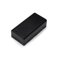

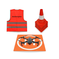

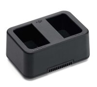
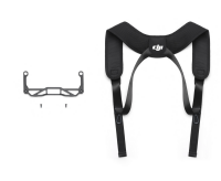
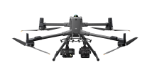
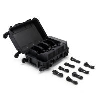
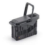
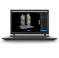
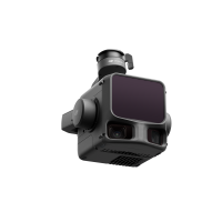

- Available immediately
-
Delivery time: 1 - 3 Workdays (DE - int. shipments may differ)

- Available immediately
-
Delivery time: 2 - 3 Workdays (DE - int. shipments may differ)

- Available immediately
-
Delivery time: 2 - 3 Workdays (DE - int. shipments may differ)

- Available immediately
-
Delivery time: 2 - 3 Workdays (DE - int. shipments may differ)

- Available immediately
-
Delivery time: 2 - 3 Workdays (DE - int. shipments may differ)
Description
Precise surveying with LIDAR technology
With the LIDAR drone complete package, you can easily survey areas with dense vegetation. LIDAR technology accurately captures the ground, even where conventional photogrammetry fails. This gives you accurate data even in areas that are difficult to access.
Highest level of detail for objects
Measure objects with small cross-sections or a high level of detail, such as power lines or steel cables, with maximum precision. The LIDAR survey package allows you to capture and analyze even complex structures in detail.
Flexibility through interchangeable sensors
The package includes a 20 MP RGB camera, which can be replaced with a full-frame or inspection camera if required. This flexibility allows you to adapt the drone to different requirements and always achieve optimal results.
Reliable results in all weather conditions
Thanks to its IP44 certification and independence from daylight, the Surveying LIDAR Package delivers reliable results even in darkness and rain. This allows you to continue your projects without interruption, regardless of weather conditions.
Ready-to-fly for immediate use
Don't have time for lengthy preparations? The Surveying LIDAR Package is delivered to your home ready to fly or is flown in personally. This allows you to start surveying immediately and implement your projects efficiently.
Customer reviews
Airclips Vermessungspakete können wir nur empfehlen. Aufmaß- und Volumenbestimmungen mit einer
Drohne sind blitzschnell gemacht! Von dem Airclip-Team rings um Herrn Günther wird man ordentlich
beraten und hat bei Fragen immer einen Ansprechpartner. Absolute Profis für den professionellen
Drohneneinsatz.
Firma W. Guenther und Soehne GmbH & Co.KG
Also ich muss hier mal wirklich ein dickes Lob aussprechen. Bei dieser Firma steht der Servicegedanke ganz weit vorne.
Vom Erstkontakt zu dem überaus sehr kompetenten und auch immer für mich erreichbaren Verkäufer, bis zur Auslieferung der
ersten Vermessungsdrohnen blieben keine Fragen unbeantwortet. Ein ganz großes Dankeschön an Marc und Daniel.
Der Einsatz der Drohnen war für uns durch euer herausragendes Engagement vom Start weg ein voller Erfolg und erspart uns
so viel Zeit. Vielen Dank! Wir freuen uns auf die Partnerschaft und auf viele spannende Projekte.
Da kommt noch was, versprochen!
Andreas von GIGA.GREEN GmbH, 10557 Berlin
Top Service als B2B Partner in Sachen Vermessungsdrohnen. Immer hilfsbereit und
bei Rückfragen jederzeit erreichbar. Vielen Dank, Airclip, für die gute
Zusammenarbeit von Anfang an und hoffentlich noch für sehr lange.
Anonym am 23.10.2023
Die Firma Airclip bietet auf allen Ebenen einen sehr guten Service. Bei der
Beratung konnte man sich von dem Fachwissen der Ansprechpartner überzeugen,
welches dann bei der Schulung nochmals bestärkt wurde. Insgesamt war die
ganze Abhandlung von der Beratung über den Kauf bis zur Schulung ein sehr
zufriedenstellender Prozess, der alle Wünsche erfüllt hat.
Tell Bau GmbH, 26506 Norden
Frequently Asked Questions
How large are the areas of application for the LIDAR drone?
The drone is ideal for medium to large areas and can also be used in difficult terrain, such as densely vegetated or inaccessible areas.
How long is the drone's flight time?
Depending on weather conditions and payload, the average flight time is around 25 to 40 minutes. Additional batteries can extend the flight time.
What weather conditions are problematic?
The drone can fly in rain and poor visibility, but extreme weather conditions such as heavy storms or thunderstorms should be avoided.


